Menu

Port of Bakar Latitude: 45°19'N - Longitude: 14°26'E

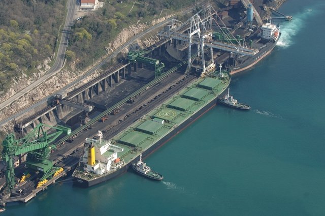
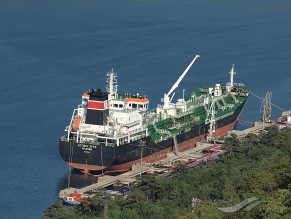
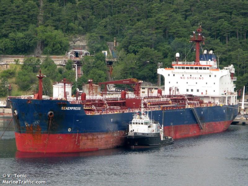
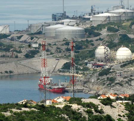
Port of Rijeka Bakar - Oil and bulk terminal

Latitude: 45° 19’ N
Longitude: 14° 26’ E
British Admiralty Chart: 1996
Admiralty Pilot: 47
Time Zone: GMT +1 h
Locode: HRBAK/HRRJK

Bay of Bakar, 4.700 m long, 700 m wide, average depth 26 m, at entrance 44 m. Entrance to Bay of Bakar is 400 m wide. Max tidal range is 1,2 m. Bakar port basin, average depth is 26 m, a bulk cargo terminal for discharging iron ore, bauxite and coal, also one berth for discharging general cargo and loading vehicles, and oil refinery terminal for loading refined products.

In need of services in port of Bakar?

Contact us

Bulk

Bulk cargo terminal in Bakar Basin; one 300 m long berth, 18.5 m depth, for vessels up to 150.000 DWT, unloading iron ore, bauxite and coal.  Two shore unloaders, 116 t and 145 t cap. Stockyard capacity 400.000 t. Max draft 17.5 m for vessels up to 300 LOA, otherwise 15.5 max draft.
Max height to hatch covers 16 m.

Tanker

Port of Bakar basin is integrated port of port of Rijeka. Four jetties for tankers loading derivatives.  Depths up to 9,50 m alongside and up to 10.5 m when vessels are berthed by stern dropping both anchors (Mediterranean mooring).

Liquid gas

A berth for loading LPG situated at Srscica, near Urinj tanker terminal is 68 m long with 10 m depth alongside and can accommodate vessels up to 4.500 DWT. Loading rate is approx. 200 t/hour through a 6” flexible hose.

Slop

At present one shore tank (2.000 GMT capacity) for oily/ballast water at Bakar Petrol berth of INA (Refinery Rijeka) only for tankers. Discharging through one 12” line at 200-300 CBM/h rate.